
Harris County ZIP Code Directory Coverage
Harris County has a broad mix of central Houston, suburban, independent-city, and county-edge delivery areas. The table groups representative ZIPs rather than reproducing every entry in the county list. A postal city in the third column is a delivery label. It is not a finding that every address in the row lies within that city’s municipal limit. Use the official county map and the USPS result for the exact address before choosing a city clerk, permitting office, or court.
| ZIP | Areas Covered | Post Office | Notes |
|---|---|---|---|
| 77002, 77004, 77008, 77020 | Downtown, Third Ward/Museum area, Houston Heights, Fifth Ward/Denver Harbor | Houston | Inner Loop areas with different neighborhood identities |
| 77024, 77040, 77055 | Memorial, Memorial Villages edge, Jersey Village/Bammel/Satsuma, Spring Branch/Hilshire Village | Houston | Postal labels reach independent villages and municipal edges |
| 77058, 77059, 77062 | Clear Lake, Nassau Bay/Space Center, Bay Area | Houston | Community and municipal labels can cross the delivery area |
| 77338, 77339, 77346, 77396 | Humble/Aldine, Kingwood, Atascocita, east and northeast county | Humble or Kingwood/Houston | Check parcel and annexation context for a specific location |
| 77401 | Bellaire | Bellaire | Independent city within Harris County |
| 77429, 77433, 77449, 77450 | Cypress, Hockley edge, Katy regional edge | Cypress or Katy | County and municipal boundaries can meet Fort Bend, Waller, or other areas |
| 77502, 77521, 77530, 77536 | Pasadena, Baytown, Channelview, Deer Park | Pasadena, Baytown, Channelview, or Deer Park | East and southeast county delivery geography |
Very small, PO-box, and special-use areas need extra care. Downtown 77001 is described as PO or unique-style use, while 77508 is Pasadena PO-box or special delivery. The research supports retaining those labels in a county list, but it also requires address-level verification before inferring a street or city from them.
Harris County 770 Delivery Grid
The 770 group makes the central part of Harris County look simple at first glance, yet its local distinctions matter. 77005 carries West University and Southside Place aliases. 77024 includes Memorial Villages at its edge. 77029 covers Jacinto City, Manchester, and industrial east Houston, where a parcel check is prudent. 77034 reaches the South Belt and Pasadena edge, while 77040 and 77041 overlap the Jersey Village and west-northwest context. A Houston delivery label does not erase these place differences.
The Harris County maps and Find It! tools provide an address-oriented county route for checking where a location sits.
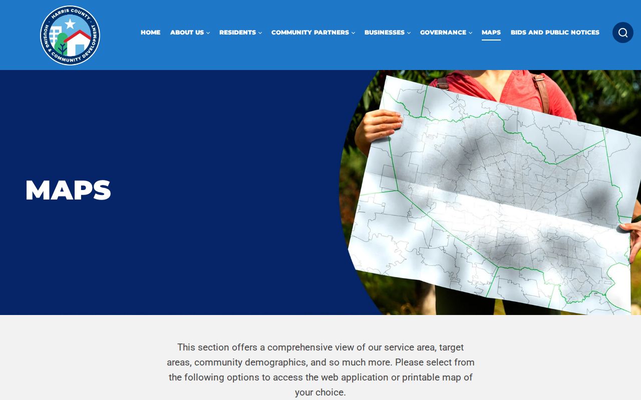
County map tools help place a delivery label alongside an address and jurisdictional context. They do not replace USPS delivery acceptance or the custodian’s own parcel and case records.
The 770 grid also includes institutional and small-area distinctions. 77030 and 77054 cover Texas Medical Center areas, 77046 includes Greenway Plaza, and 77051 is a small-area ZIP whose exact address should be verified. A regional description is useful for orientation, not for deciding who is associated with a particular parcel.
Harris County Border Delivery Areas
North and northeast county areas show why a broader directory needs more than Houston labels. 77336 reaches Huffman and Lake Houston, while 77338 serves Humble and Aldine. 77339 and 77345 use Kingwood labels, and 77346 links Atascocita, Kingwood, and Humble. The County GIS city-limit, ETJ, subdivision, and annexation layers can help distinguish postal identity from municipal geography. Border entries such as 77357, 77365, and 77375 may require a county-boundary check as well.
Northwest and west ZIPs have the same issue. Cypress areas include 77429 and 77433. Katy’s 77449, 77450, 77493, and 77494 sit in regional border context. Hockley and Waller references may meet the Harris County edge. To the southeast, Pasadena, Baytown, La Porte, Pearland, Seabrook, Webster, and Friendswood can also meet another county or city context. The address, not the broad place name, decides which government office keeps a record.
Harris County GIS ZIP Code Layers
The official Harris County ZIP boundary service uses H-GAC StarMap boundaries clipped to Harris County. Its map and query tools support identifying the county portion of a delivery area, with a 1,000-record maximum. It is a geography layer, not a USPS delivery guarantee. Pair it with city limits, county boundaries, school district, precinct, subdivision, HCAD parcel, ETJ, MUD, private utility area, and annexation-history layers when an address looks ambiguous.
The official boundary service makes the county clipping and map controls visible for a Harris County ZIP search.
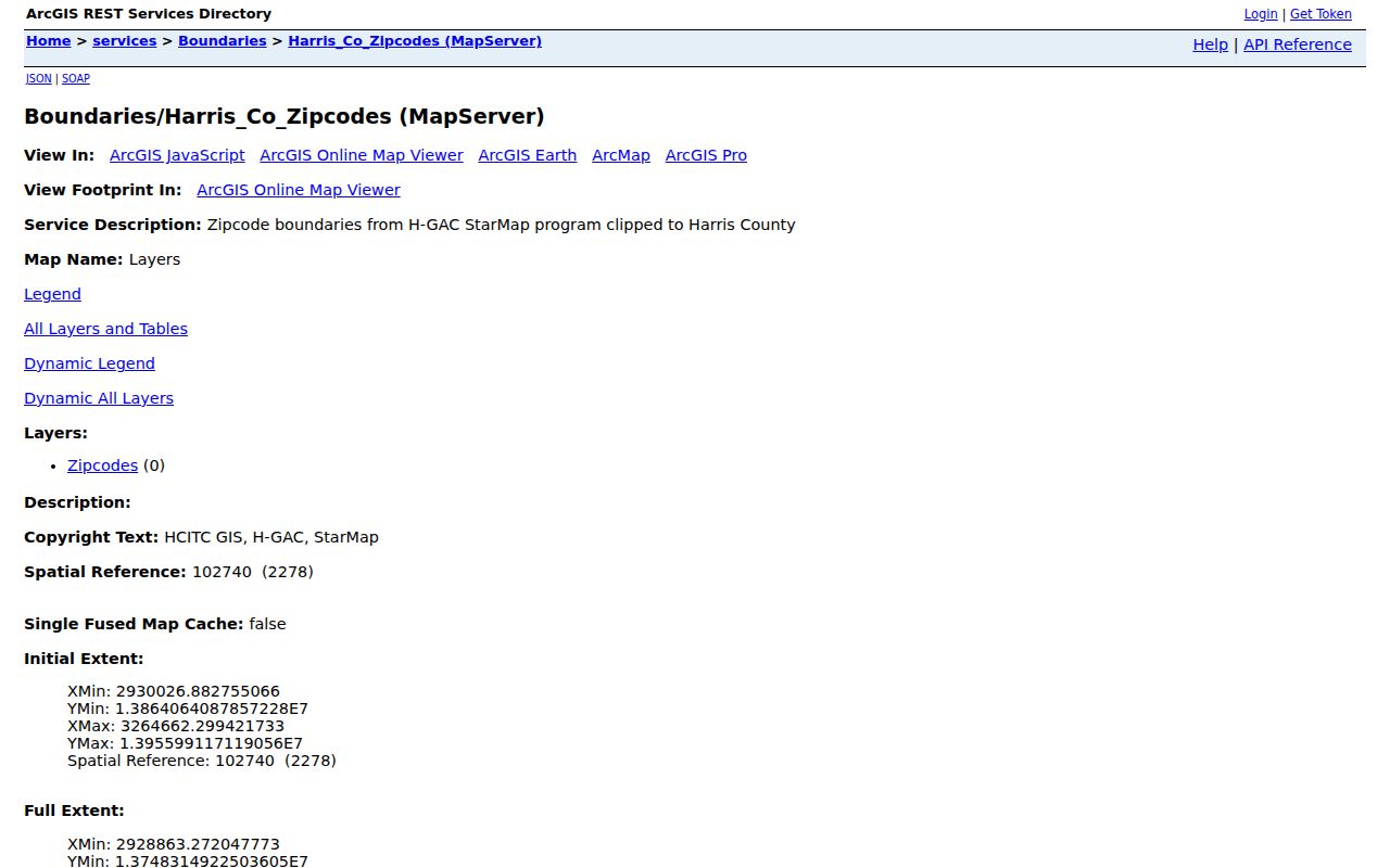
GIS layers explain why a city, ZIP, and county name can all differ at one address. They map geography, while a deed, permit, or municipal clerk identifies the relevant record keeper.
Houston GIS has additional layers for City Limit, ETJ, MUD District, Private Utility Area, Civic Clubs/HOA’s, Super Neighborhood, subdivision, historic district, flood hazard area, annexation history, and HCAD parcels. These layers provide context, but they do not establish residency or a complete household list.
Harris County ZIP Search Process
A five-digit ZIP can narrow official tools, but each tool returns a different kind of result. HCAD Advanced Search accepts a five-digit value and returns property accounts, not a directory of people. Harris County GIS offers map-based and tabular address routes. Texas My Voter Portal uses ZIP as part of an individual registration lookup with name, county, and date of birth, while voter information has confidentiality limits. Full voter-file requests follow the state forms and acknowledgments, and the county registrar supplies the current delivery format and fee.
- Confirm the full address with USPS first, especially for a PO-box, small-area, or border ZIP.
- Enter the five-digit ZIP in HCAD Advanced Search, then narrow the property-account result by street, owner, category, school district, or range as appropriate.
- Open the county GIS map or tabular address tool and compare the ZIP layer with the parcel, city-limit, ETJ, and county-boundary layers.
- For an individual voter-status question, use Texas My Voter Portal with the required name, Harris County, date of birth, and ZIP details. Do not infer a result from a non-match.
- When a ZIP has narrowed the area to a named street, use the Harris County street directory for the address-record workflow.
A portal failure has alternatives. Contact HCAD through its office or correction route for an appraisal account, use the GIS tabular tool when map navigation is awkward, and contact the Harris County Elections Department if the portal does not return an expected registration. A Public Information Act request goes to the governmental body’s public-information officer and remains subject to privacy and statutory limits.
Note: A ZIP-filtered property result is a set of appraisal accounts, not a complete record of everyone in that area.
HCAD’s Harris County Zero-Site Quirk
HCAD warns that a site address can be 0 when the system does not know the correct number or has inherited a vacant-property process. A mailing address can differ from the situs, which is the physical parcel location, and an account can exist before GIS mapping is complete. A zero site number is therefore not a normal street number and should not be used as the sole way to locate a parcel.
Use the 13-digit account number, legal description, owner-name lead, map link, and street-name variants to resolve the record. Street-type words should be omitted in the HCAD search, directions should be abbreviated rather than written out, and a road can appear in variants such as FM 1960 W and FM 1960 WEST. HCAD refreshes data nightly under ordinary conditions, but a delay can occur.
Harris County Advanced ZIP Fields
The HCAD Advanced Search form supports several ways to refine a ZIP result. Search terms are not all required, and the tax year is selected for the search mode. The appraisal district says its data does not establish title priority or resolve conflicts in public records. Use a Harris County Clerk deed record and legal description when a transfer or ownership question needs confirmation.
| Field | Type | Required | Options or format |
|---|---|---|---|
| ZIP Code | Text | No | Five digits; the form example is 77070. |
| Street No. Range | Text | No | Beginning and ending numbers activate a range search. |
| Street No. (Zeros) | Checkbox | No | Includes properties with zero site addresses. |
| Owner Name | Text | No | Last name plus first initial or name in advanced mode. |
| Legal Description | Text | No | Subdivision, lot, block, or other legal text; partial beginning letters return variations. |
| School District | Select | No | Select from the published list to refine an account set. |
HCAD Quick Search also offers account, address, owner-name, and range-address modes. A property card can show the account number, owner and mailing address, situs address, legal description, values, exemptions, jurisdictions, improvement details, and selected history. Those details are appraisal data, so confirm recorded transfers with the County Clerk rather than treating the card as a title opinion.
Harris County ZIP Code Postal-City Myth
A USPS postal city is not a municipal jurisdiction. That distinction is routine in Harris County, not an error. 77005 can use West University or Southside Place aliases, 77024 includes Memorial Villages context, and 77401 is Bellaire. Kingwood and Humble labels occur in 77339, 77345, and 77346. Katy, Friendswood, Pearland, Seabrook, Webster, and other border communities can likewise share delivery geography with more than one county or municipality.
A delivery route also cannot determine whether the parcel is in Harris County. The county GIS layer is clipped to the county, but its boundary is still a map representation. Use the parcel and legal description to confirm county geography, and verify a specific postal delivery address with USPS.
- ZIP and ZIP+4
- A five-digit ZIP identifies a broader delivery area. ZIP+4 adds delivery-segment detail but is not a city or parcel boundary.
- PO-box ZIP
- A postal designation used for box delivery. It is a poor basis for inferring a street location.
- Unique ZIP
- A ZIP associated with a particular organization or specialized delivery use. Confirm the exact address before drawing a geographic conclusion.
- Carrier route
- A postal delivery grouping within an area. It is not a municipal or county jurisdiction line.
Harris County ZIP Delivery Checks
The USPS ZIP Code Lookup is the final delivery check because it tests the actual address rather than a county map label. This is most important for PO-box, unique, very small, and border-area ZIPs. It also avoids mistaking a broad community name for an accepted delivery city. Record the returned ZIP and postal-city result alongside the parcel and jurisdiction result when the distinction affects a records request.
USPS provides the address-level verification step for a Harris County ZIP code search.
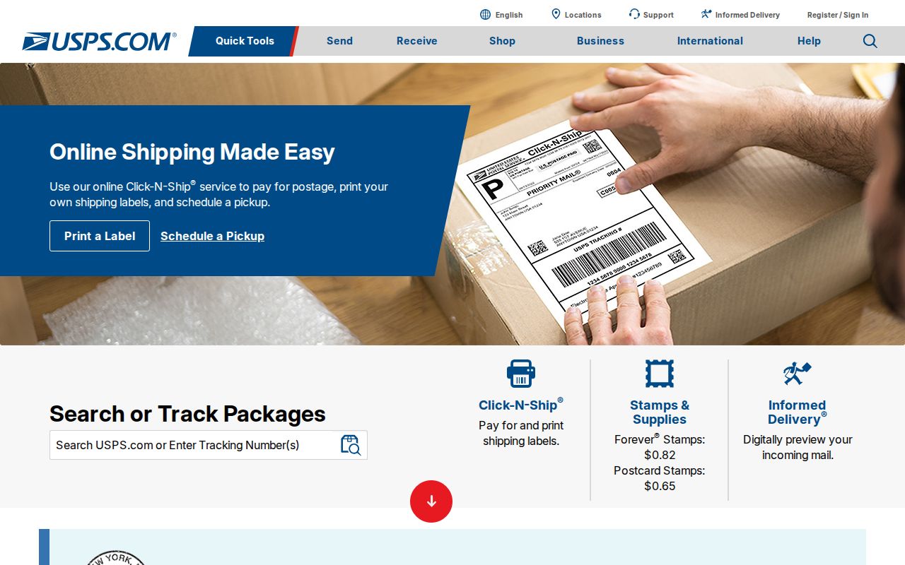
The postal result confirms delivery formatting, while the GIS, HCAD, and local custodian records answer separate questions about geography, appraisal accounts, and jurisdiction.
Texas My Voter Portal offers the individual registration route when a voter-status check is appropriate. It requires the prescribed fields and does not turn a ZIP into a whole-area roster. Protected and suppressed information remains subject to Texas confidentiality rules.